Skip to content
History • Heritage • DiscoveryRhayader · Mid Wales
Rural structures • Elan Valley

Garreg Ddu Navvy Huts

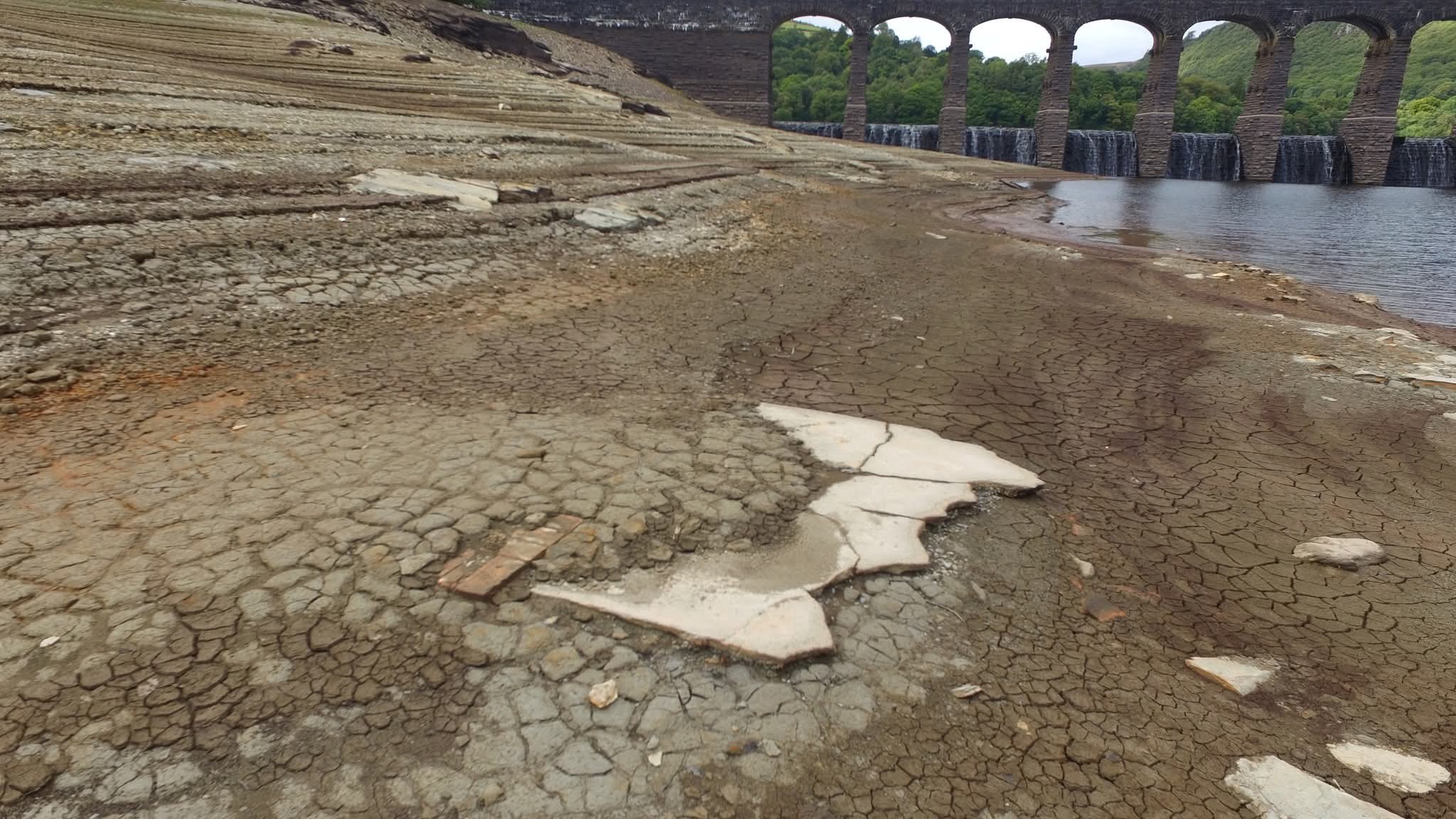
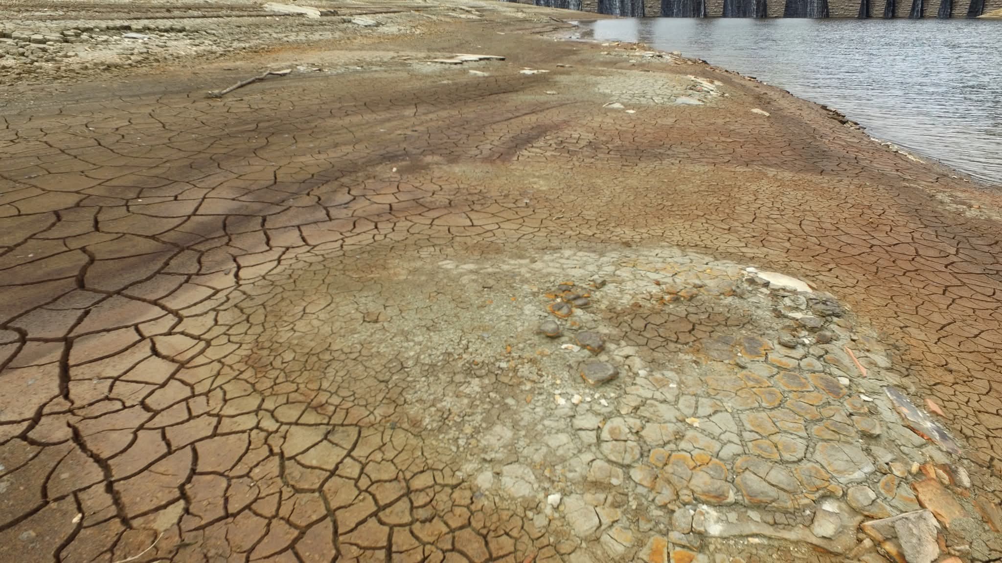
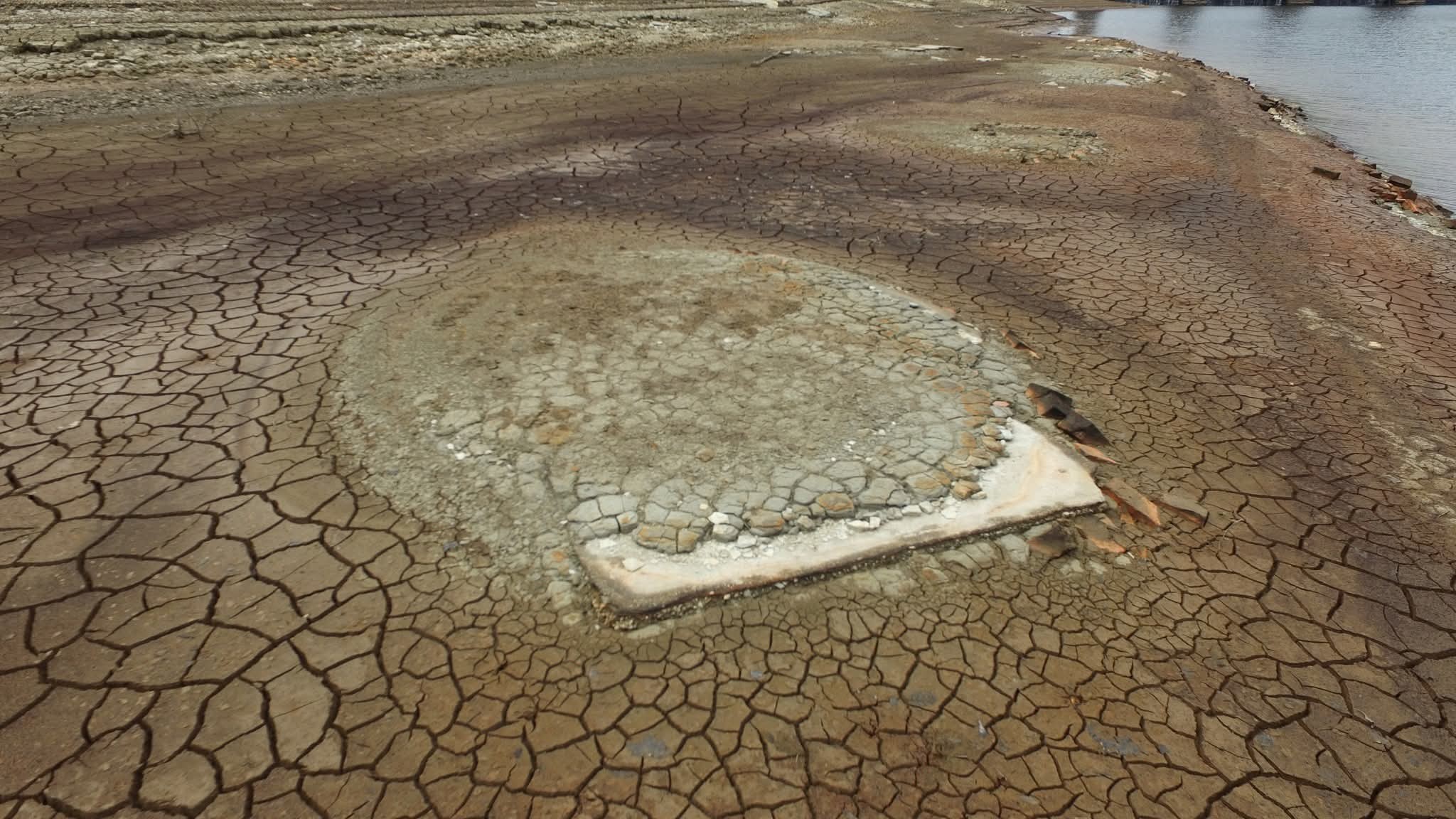
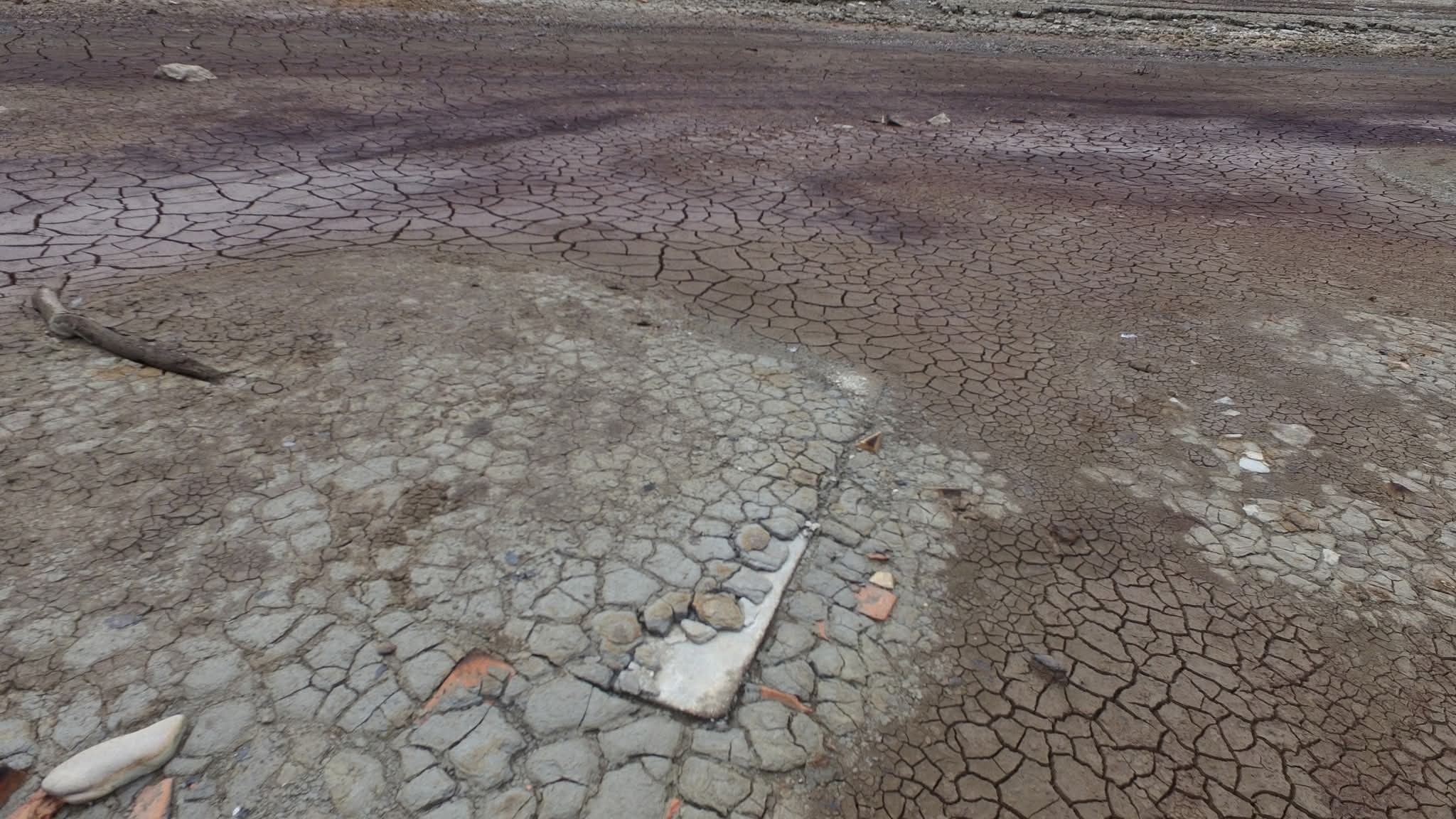
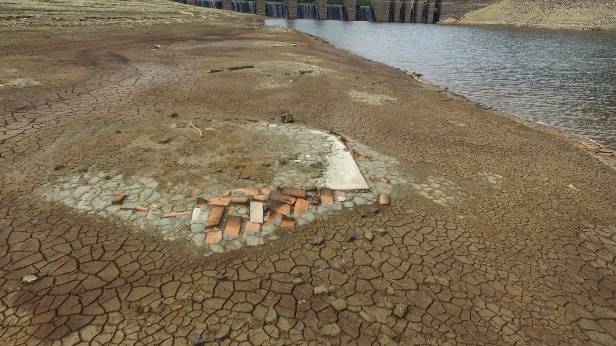
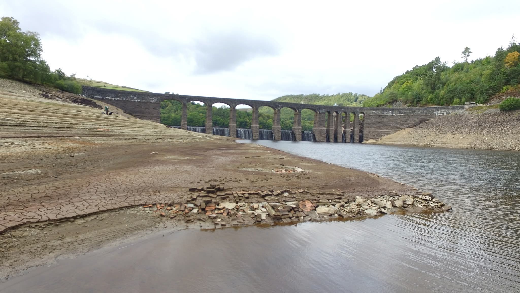
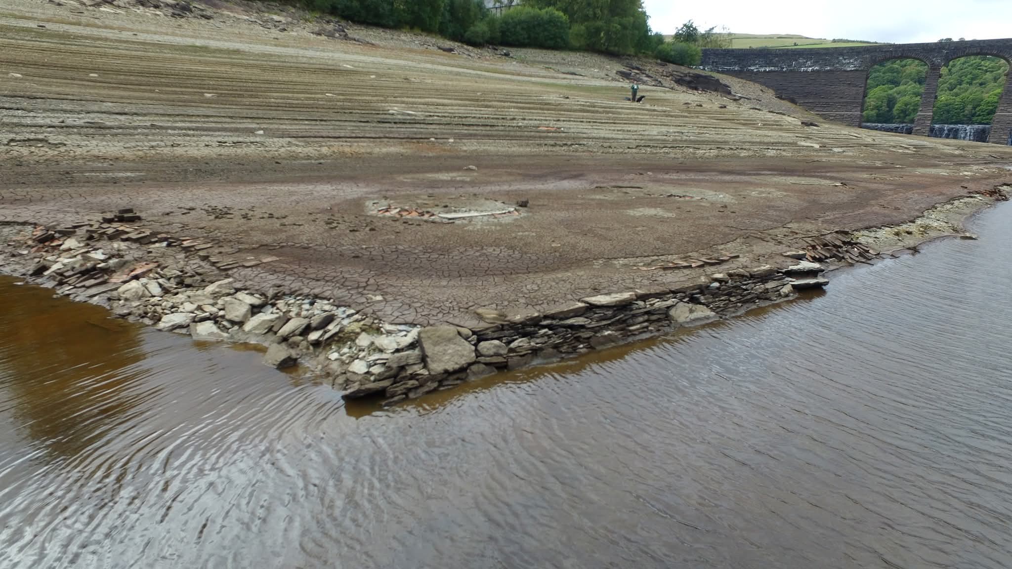
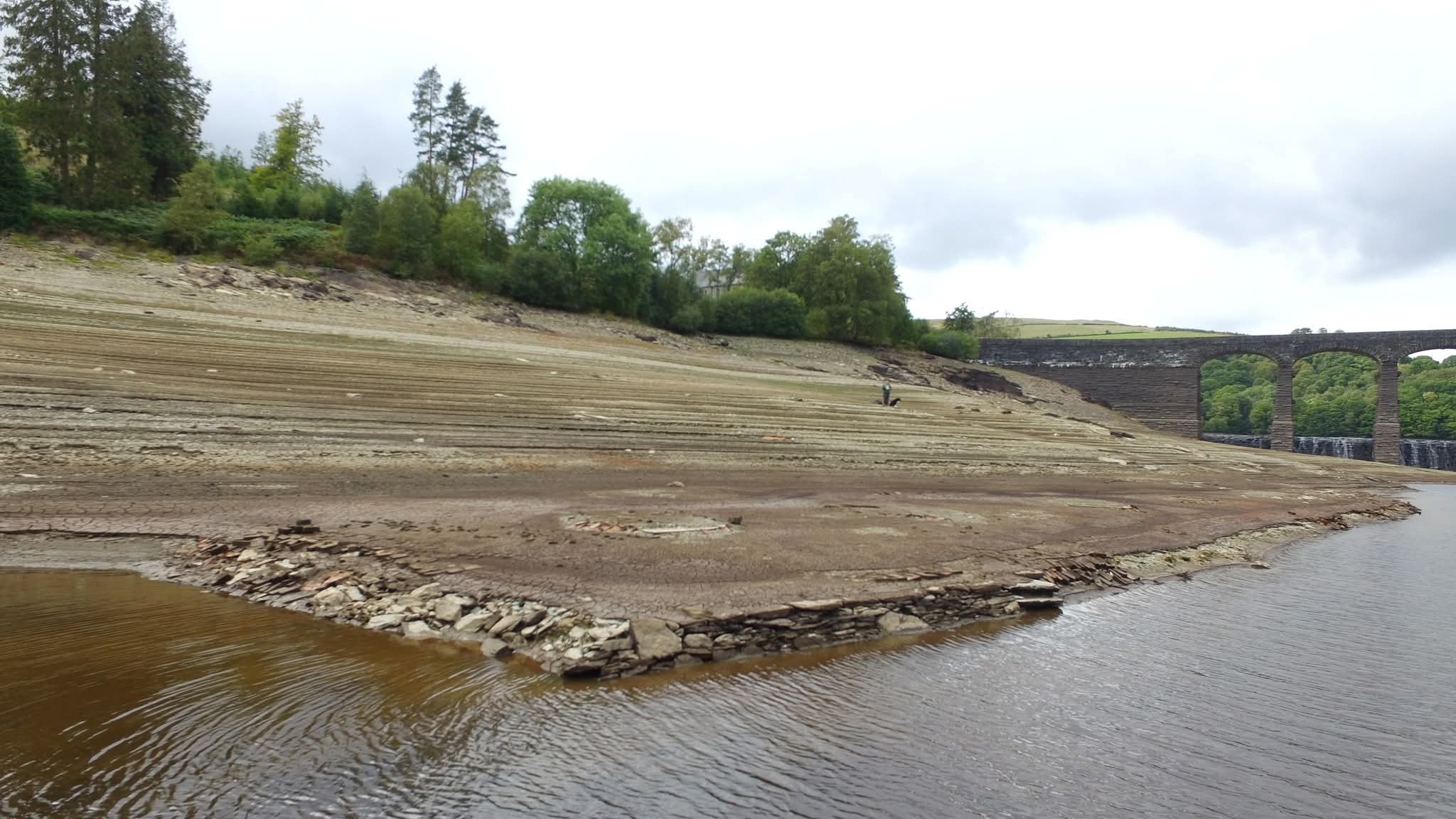
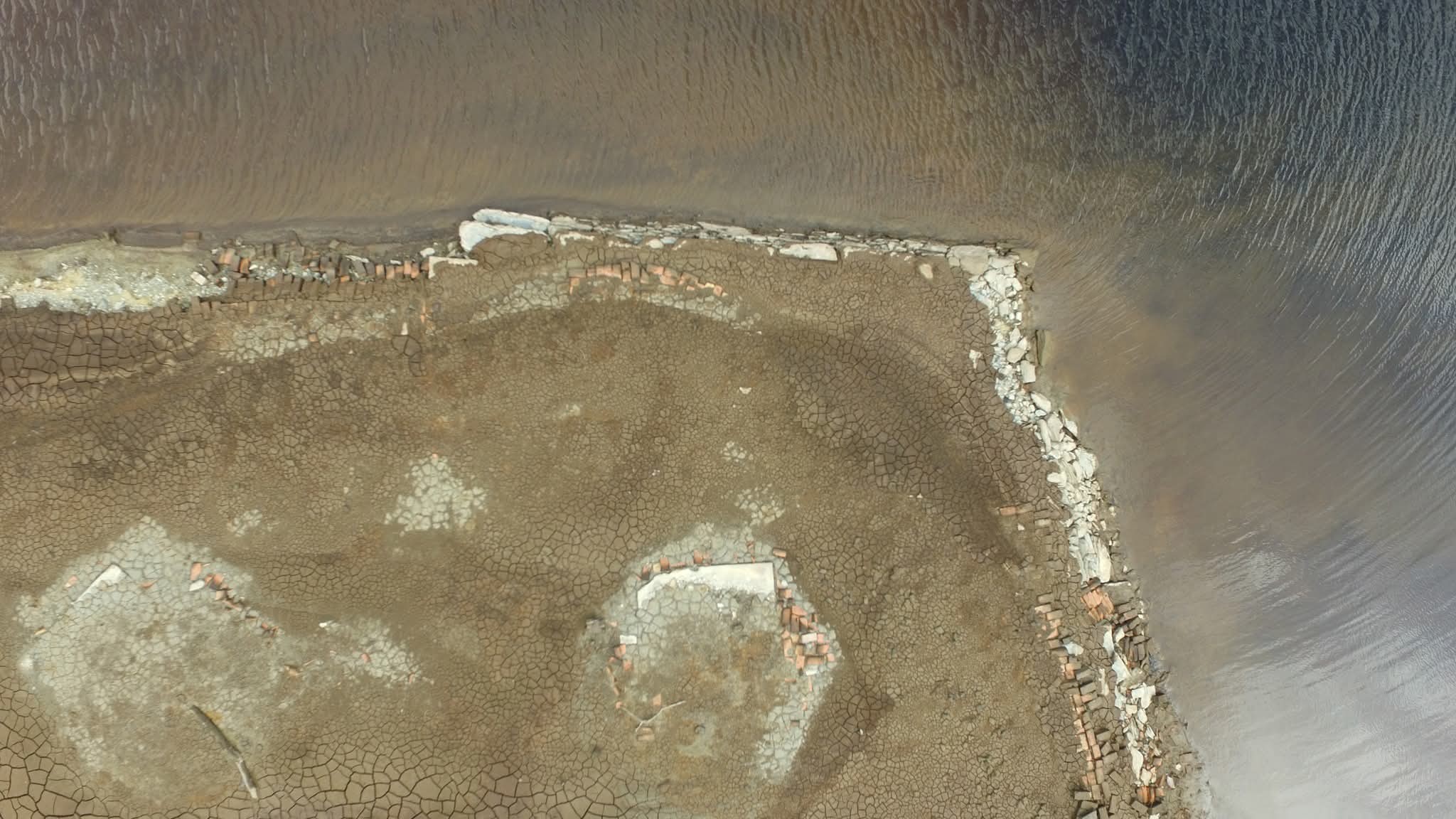
Site of Garreg Ddu Navvy Huts. Normally submerged under Caban Coch Reservoir. Map Ref SN

Photographs from the Elan Valley archive
01

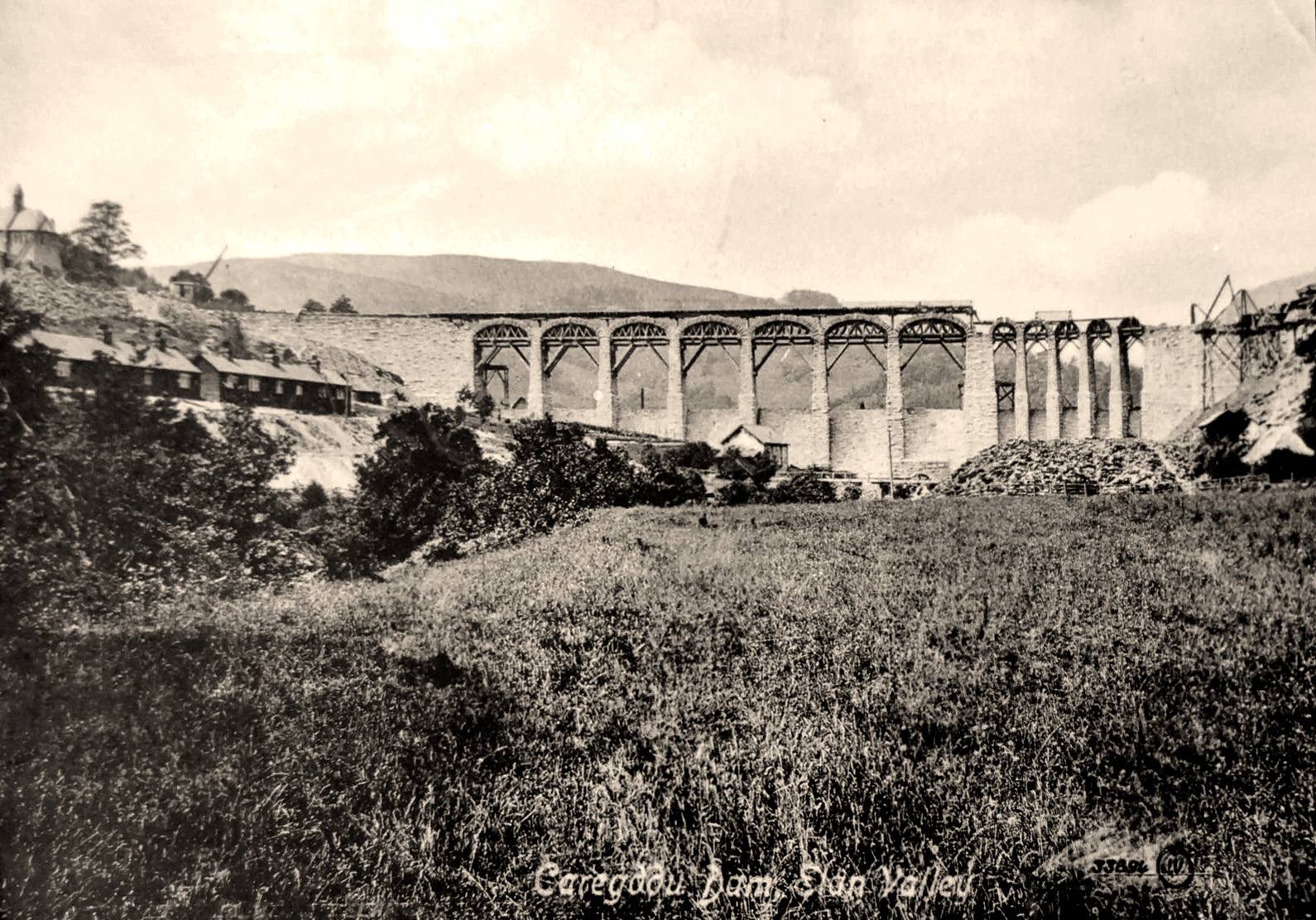
Historic Postcard

Postcard of the Garreg Ddu Navvy Huts during the construction of Garreg Ddu Dam, courtesy of Clive Bywater.
Garreg Ddu Navvy Huts postcard
02

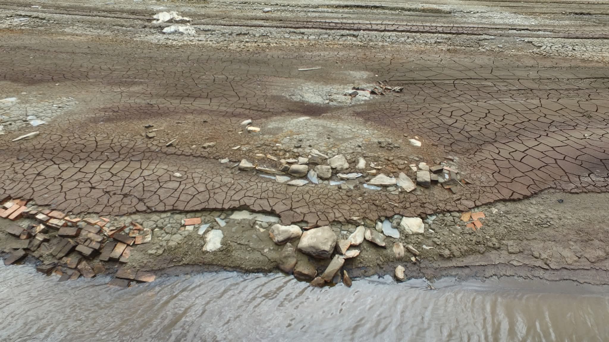
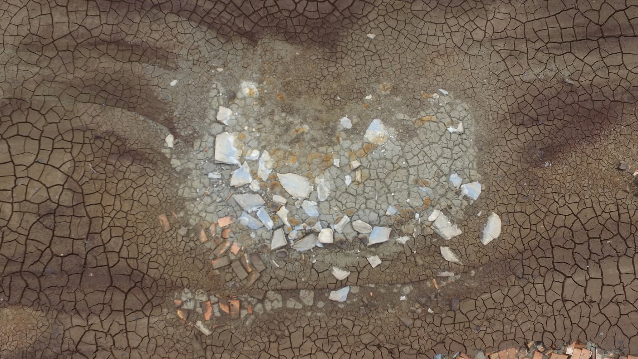
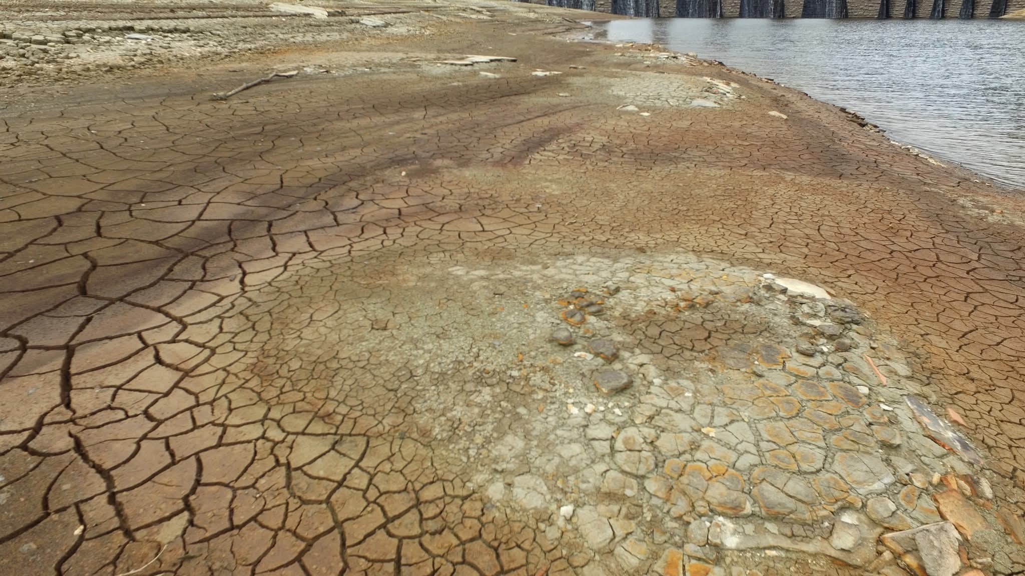
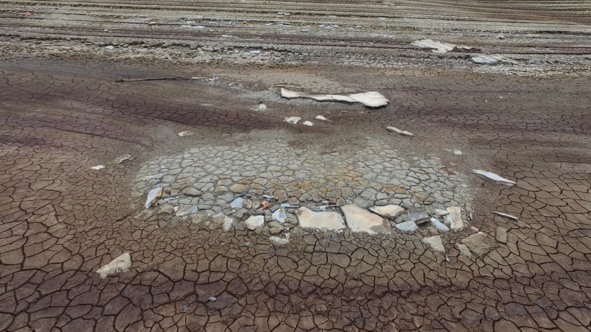
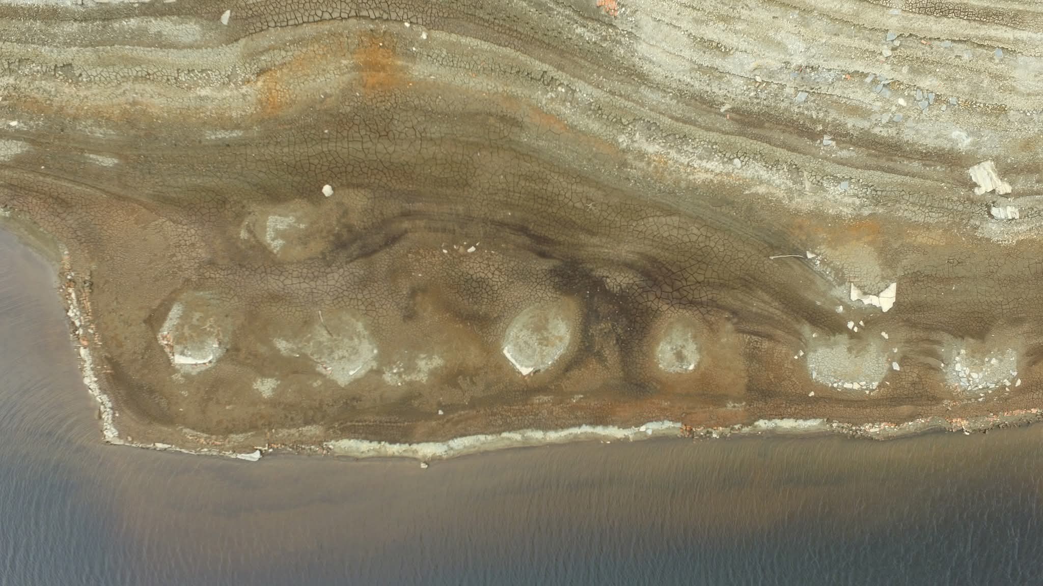
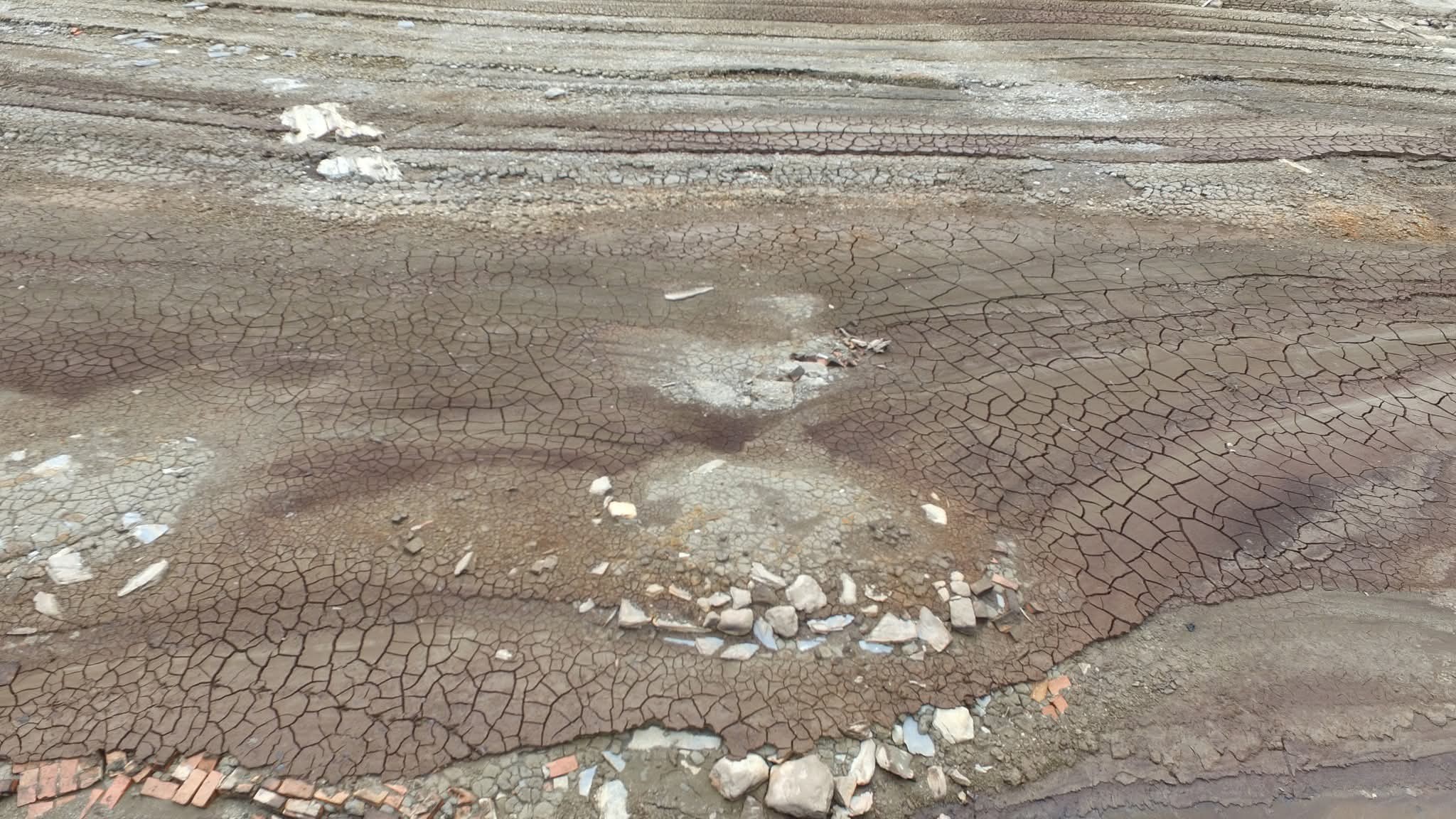
Low Water Level Photographs

Site of Garreg Ddu Navvy Huts during low water levels in the summer of 2022. Photos by David James.
Site of Garreg Ddu Navvy Huts 1
Site of Garreg Ddu Navvy Huts 2
Site of Garreg Ddu Navvy Huts 4
Site of Garreg Ddu Navvy Huts 5
Site of Garreg Ddu Navvy Huts 6
Site of Garreg Ddu Navvy Huts 7
Site of Garreg Ddu Navvy Huts 8
Site of Garreg Ddu Navvy Huts 9
Site of Garreg Ddu Navvy Huts 10
Site of Garreg Ddu Navvy Huts 11
Site of Garreg Ddu Navvy Huts 12
Site of Garreg Ddu Navvy Huts 13
Site of Garreg Ddu Navvy Huts 14
Site of Garreg Ddu Navvy Huts 15
Site of Garreg Ddu Navvy Huts 16
Continue exploring

More stories from the valley

Discover another lost cottage, farmstead or historic place in the Elan and Claerwen valleys.

Page visits: 4
Explore the landscape

Explore the Elan Valley on the map

Area overview — this page does not include a verified grid reference, so no exact location is marked.

Zoom and drag to explore. Ordnance Survey Leisure mapping is used when a site-restricted OS key has been configured; otherwise OpenStreetMap is displayed.