01
The story
Ruins of Nant Gris Sheepfold, very likely to have been a longhut before been altered to a sheepfold, approximately 9m x 5m, not far from Craig Goch Dam.
Map Ref SN88101 67937


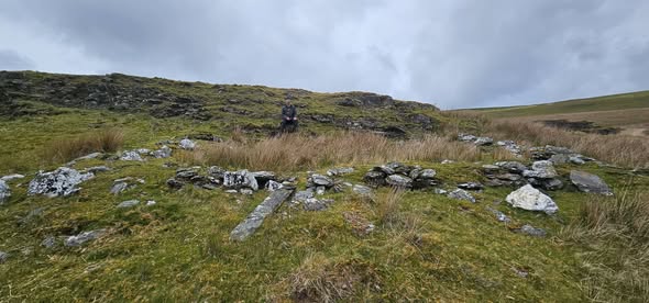
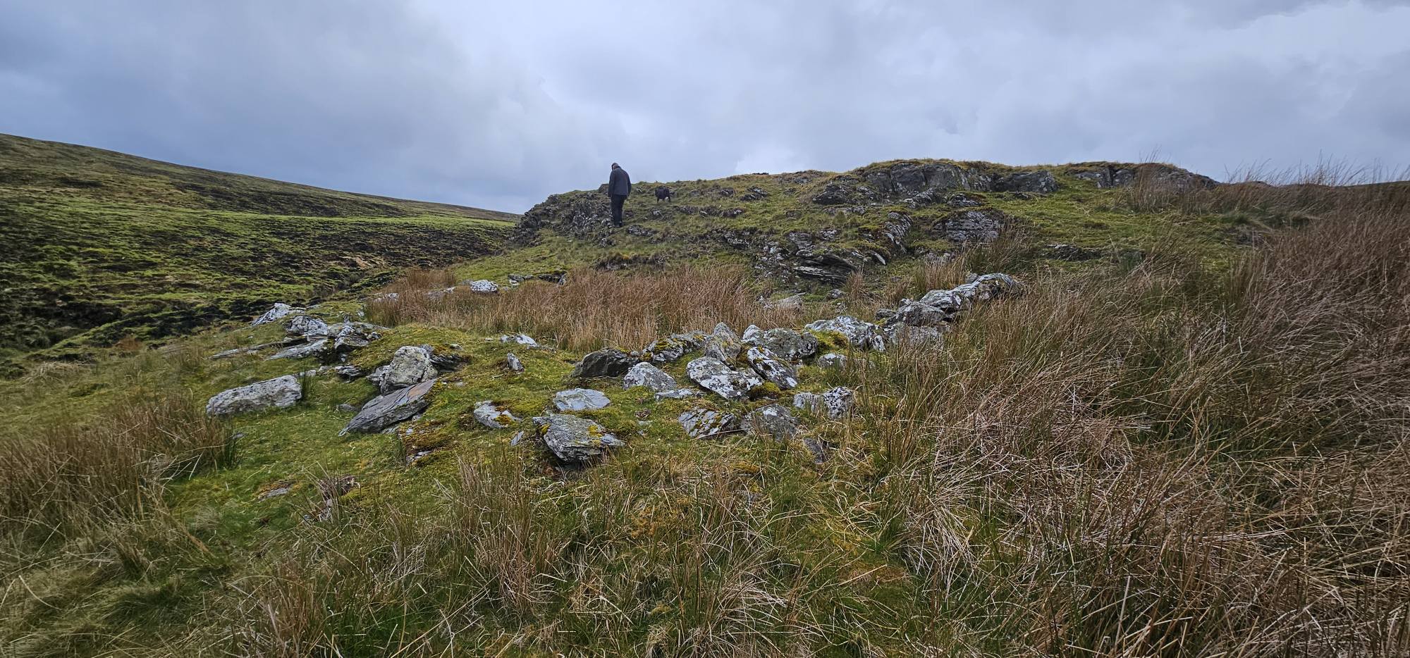
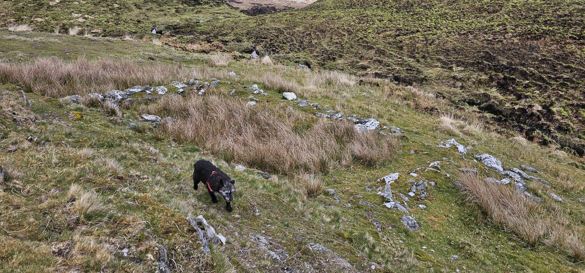
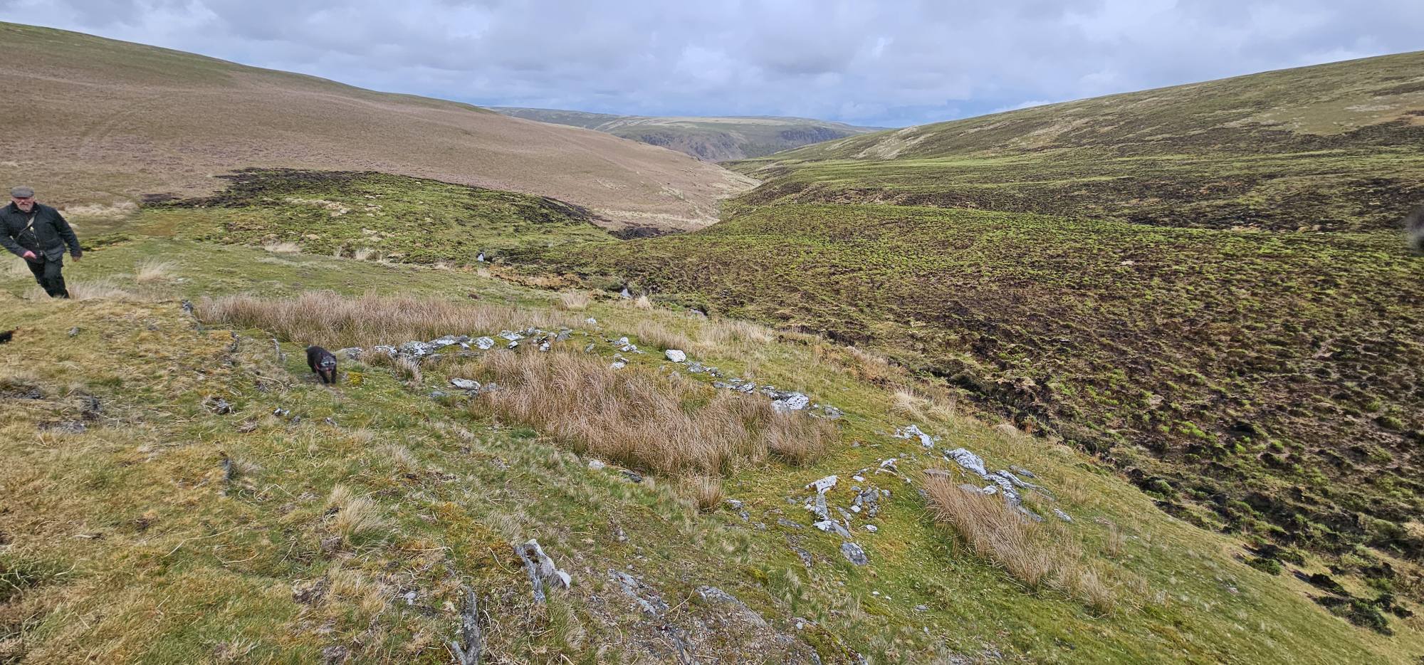
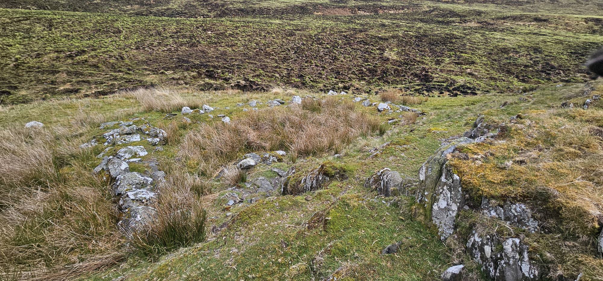
Ruins of Nant Gris Sheepfold, very likely to have been a longhut before been altered to a sheepfold, approximately 9m x 5m, not far from Craig Goch Dam. Map Ref SN88101 67937
Ruins of Nant Gris Sheepfold, very likely to have been a longhut before been altered to a sheepfold, approximately 9m x 5m, not far from Craig Goch Dam.
Map Ref SN88101 67937
Discover another lost cottage, farmstead or historic place in the Elan and Claerwen valleys.