01
Nant Yr Iau
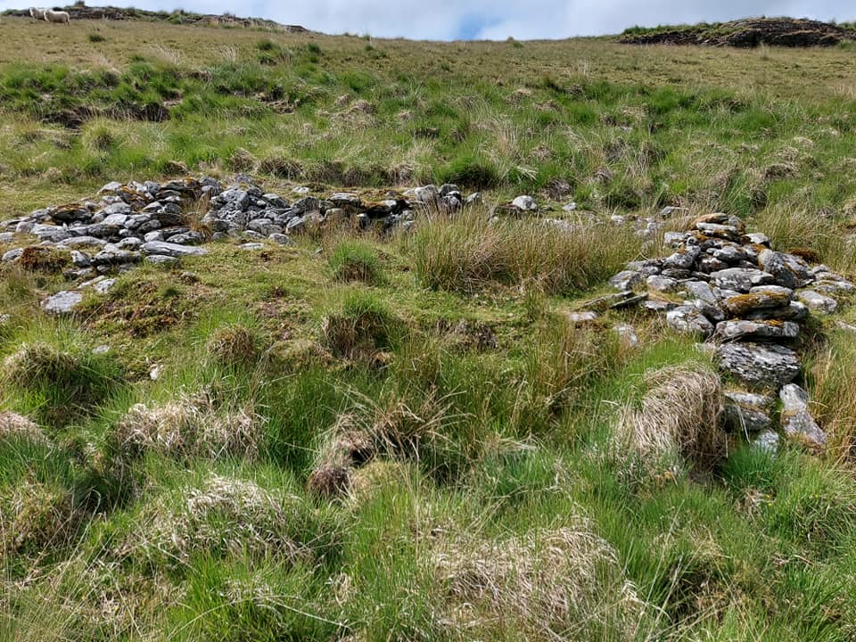
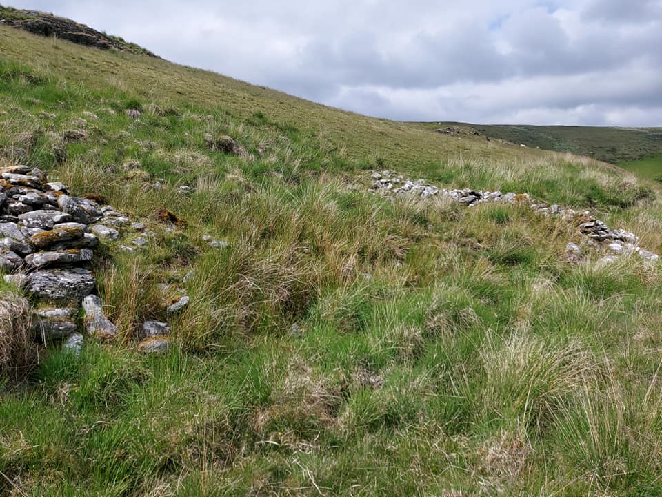
Nant Yr Iau Enclosure
Map Ref SN85145 64314
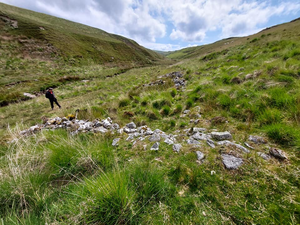
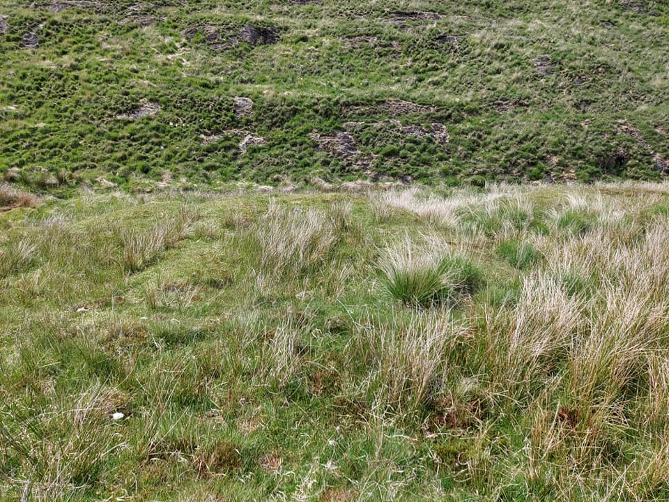
Nant Yr Iau Long Hut 2
Map Ref SN84633 62817
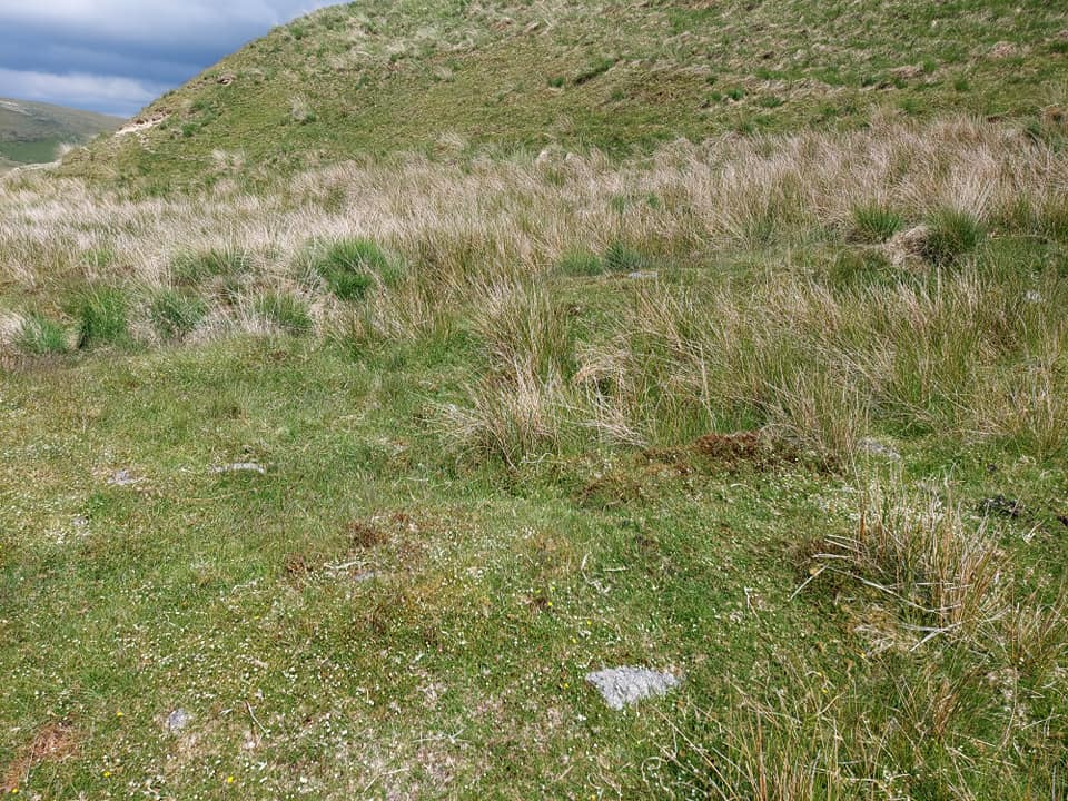
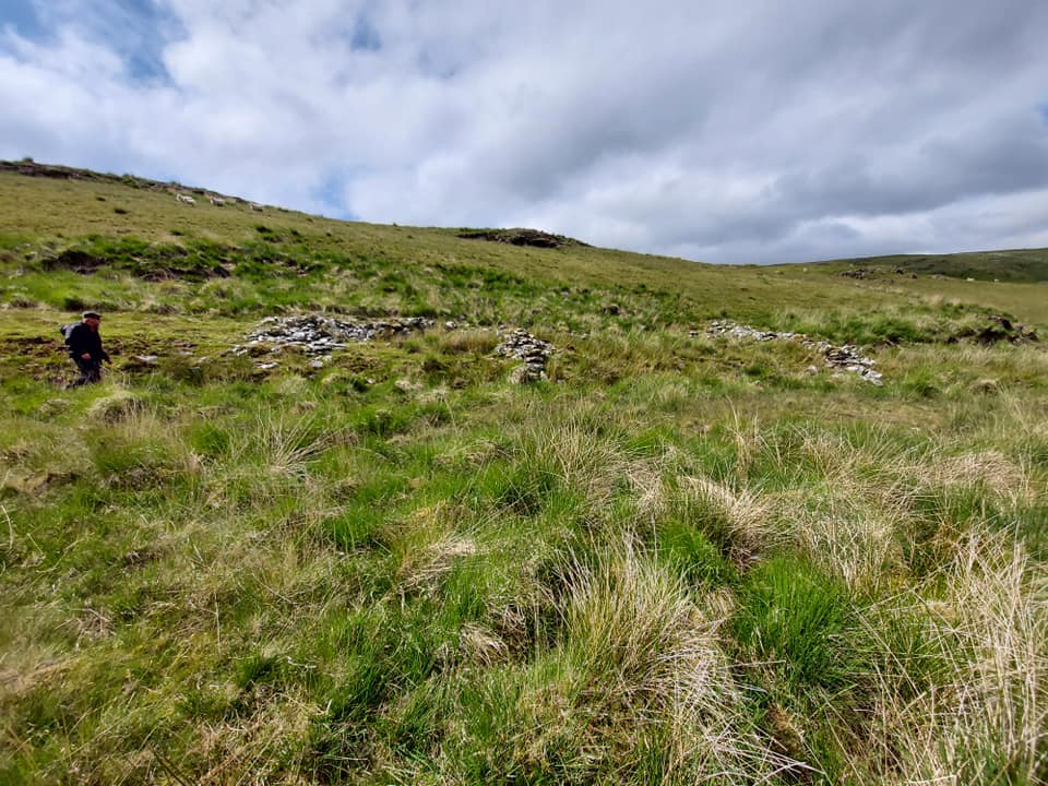
Nant Yr Iau Stone Pile
Map Ref SN8457 6278
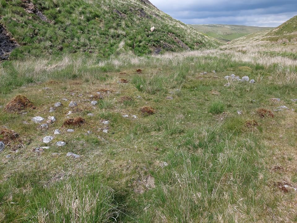
Nant Yr Iau Enclosure Map Ref SN85145 64314
Nant Yr Iau Enclosure
Map Ref SN85145 64314
Nant Yr Iau Long Hut 2
Map Ref SN84633 62817
Nant Yr Iau Stone Pile
Map Ref SN8457 6278
Discover another lost cottage, farmstead or historic place in the Elan and Claerwen valleys.
Mapped sites are based on recorded Ordnance Survey grid references. Select a marker for more details.
Zoom and drag to explore. Ordnance Survey Leisure mapping is used when a site-restricted OS key has been configured; otherwise OpenStreetMap is displayed.