01
Historic Bridge Remains
Photographs of Nanty Postdy Bridge revealed during low water levels.
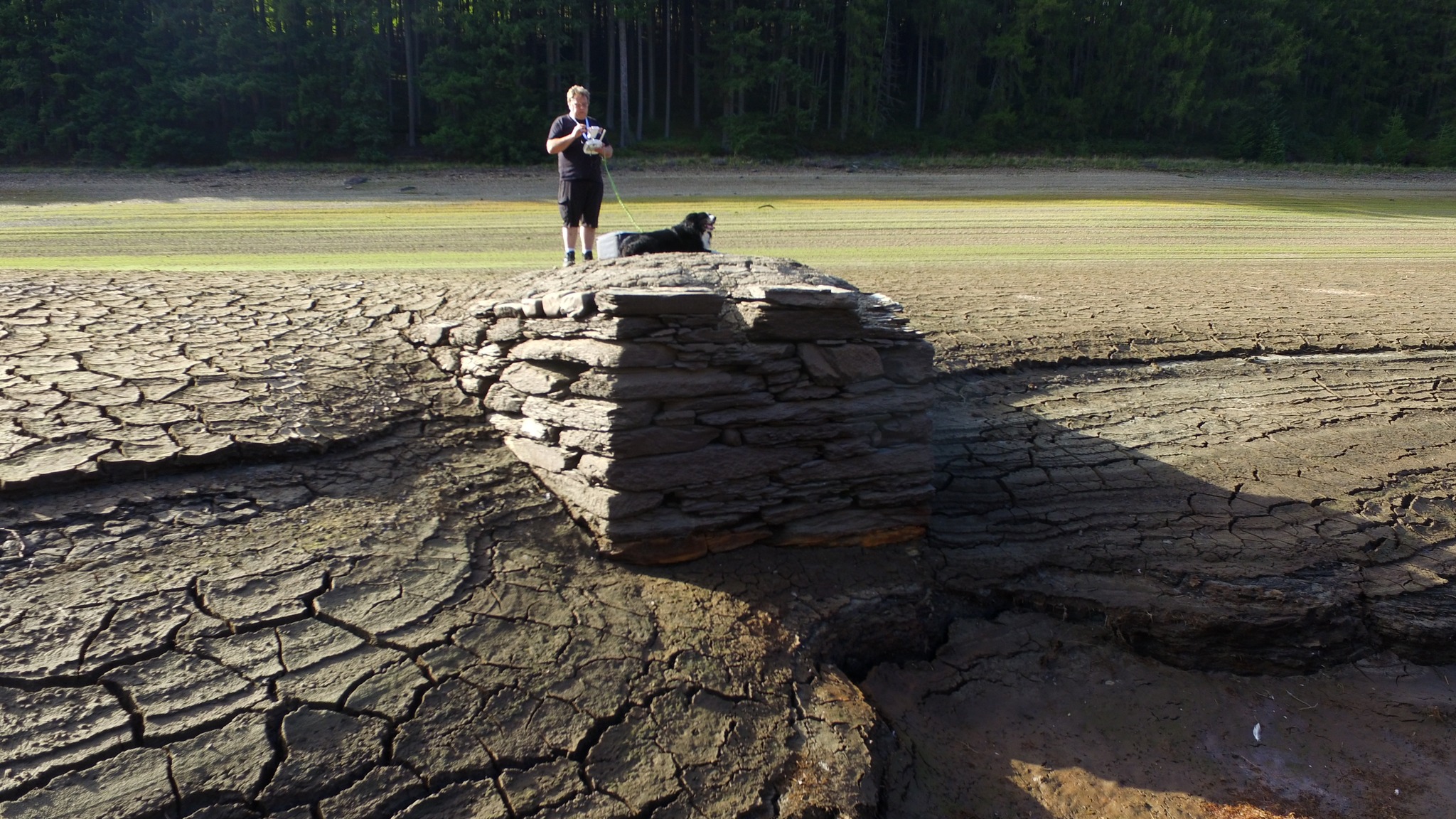
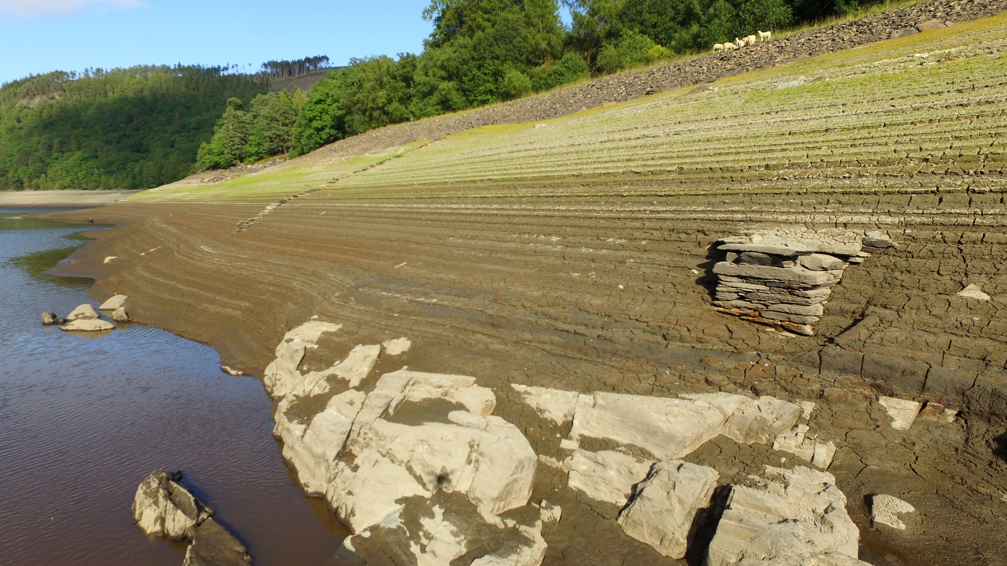
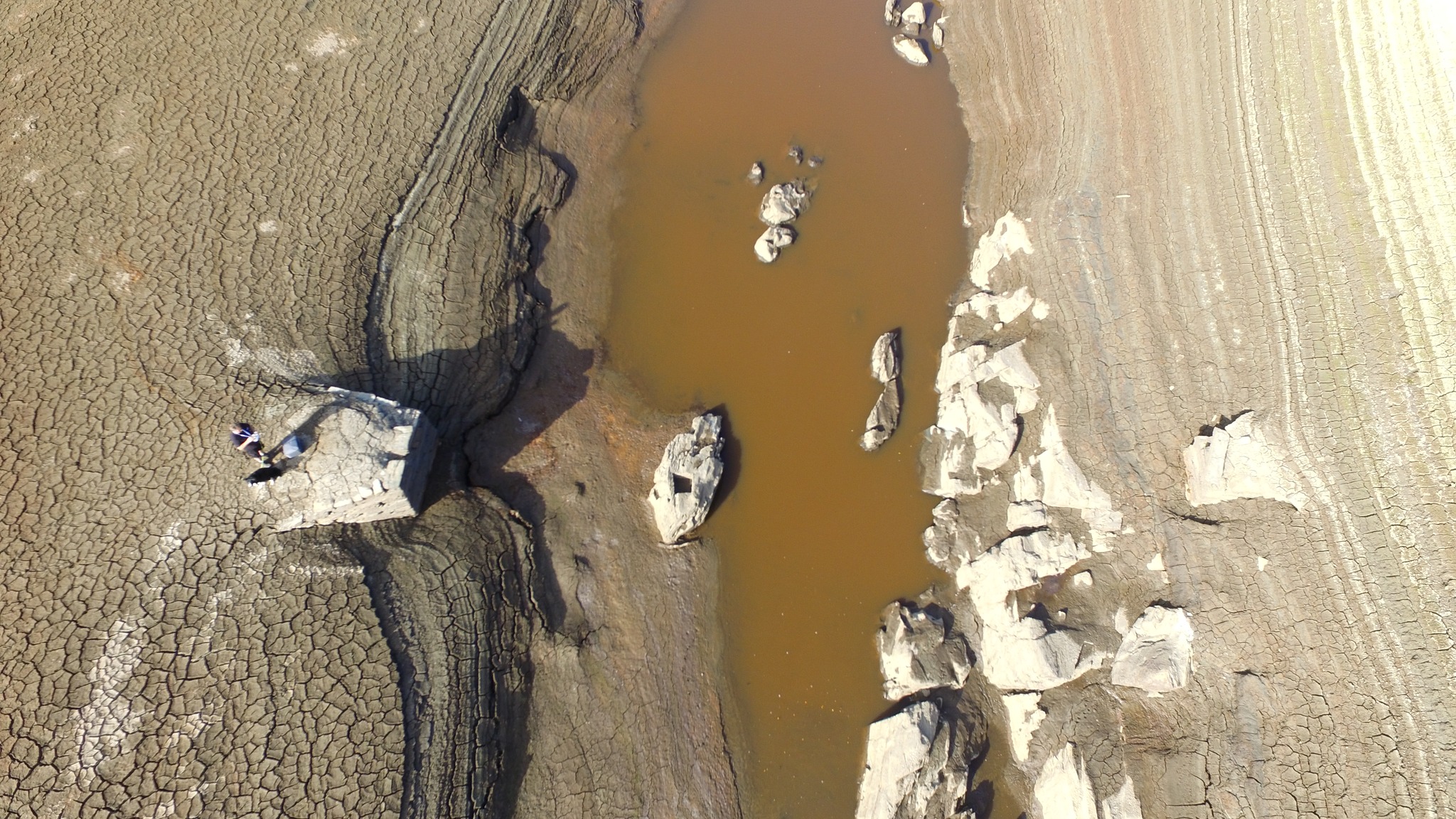
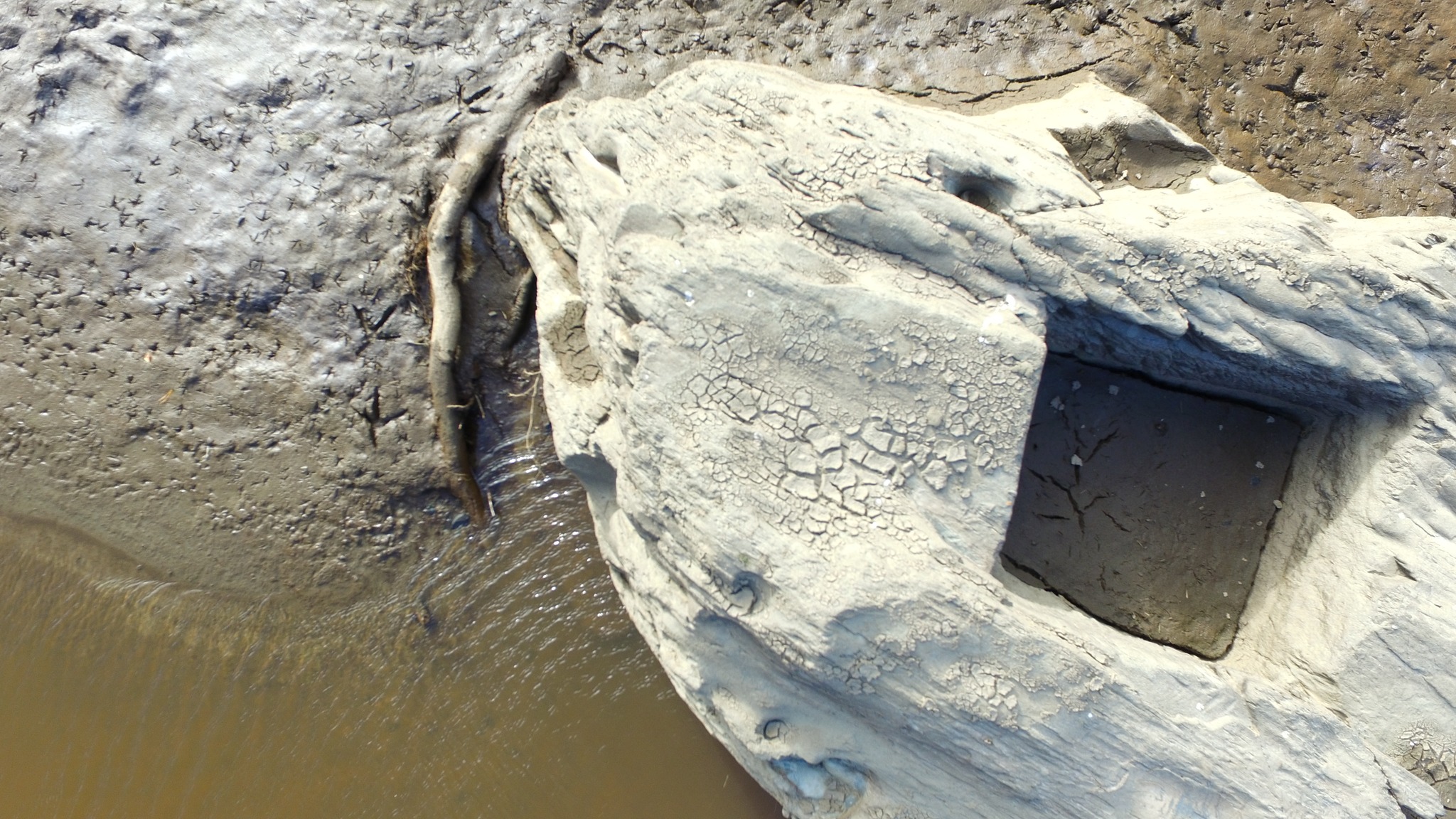
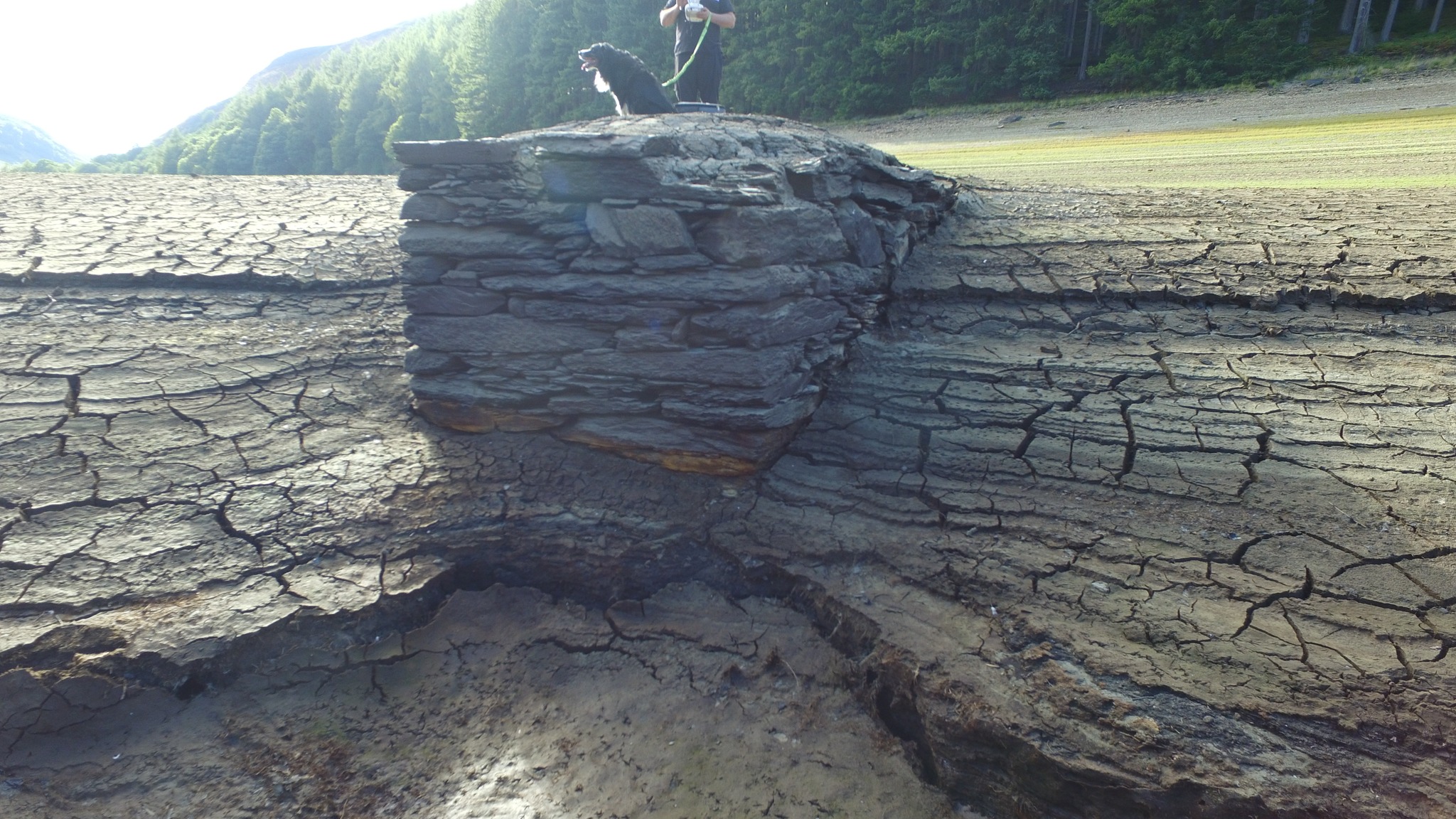
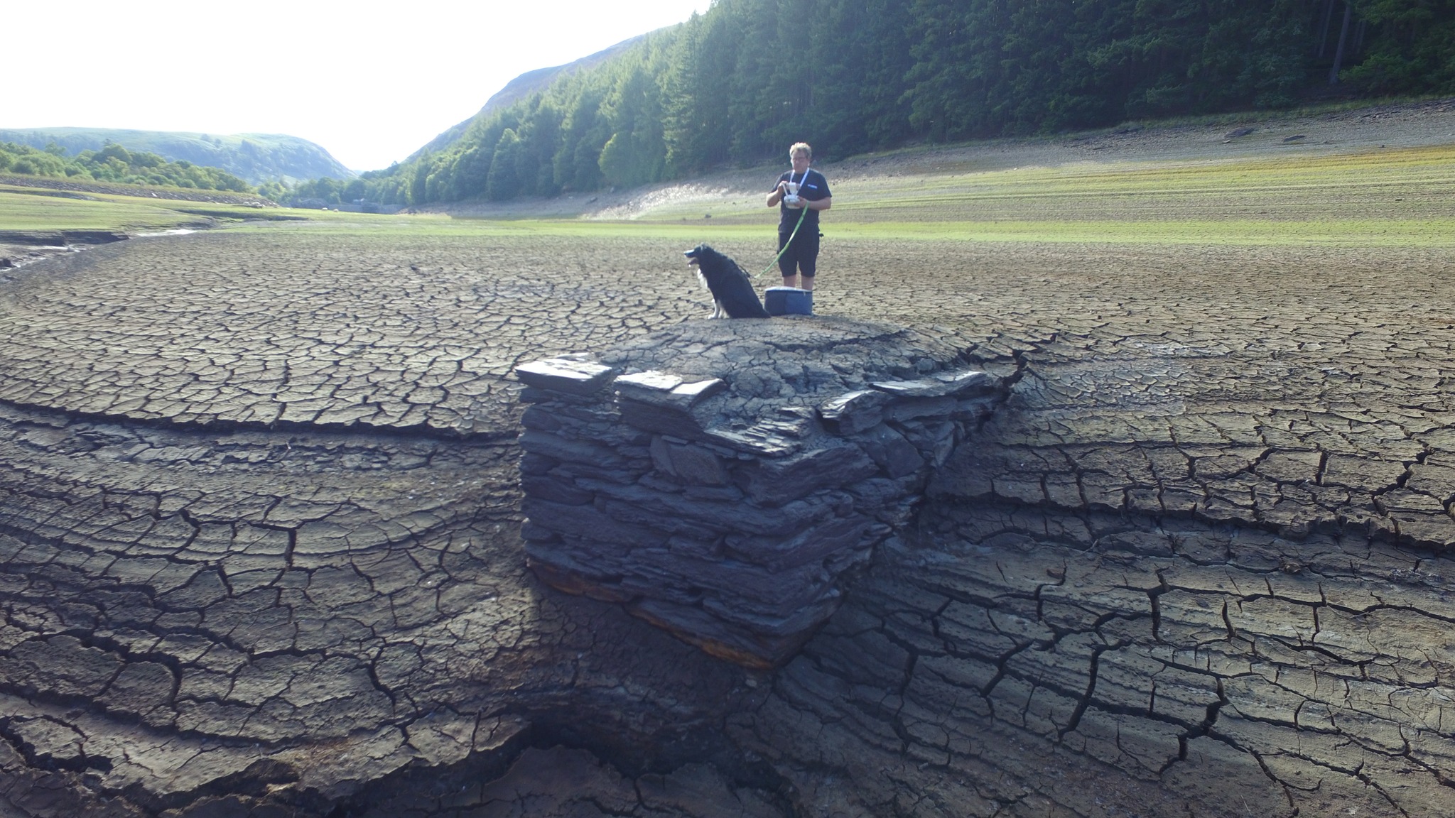
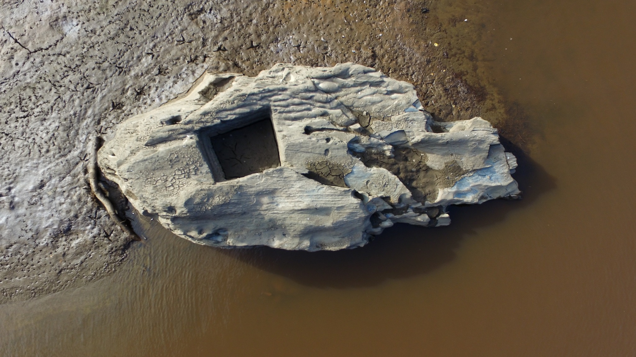
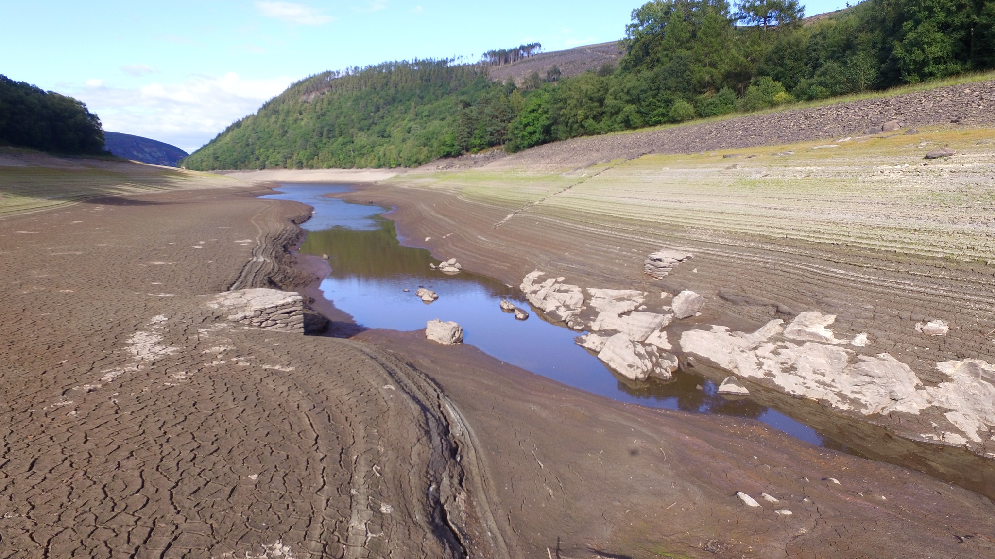
Nanty Postdy Bridge, also known as Horse Bridge. Remains of an old bridge just downstream of Dolymynach Dam, normally submerged under Caban Coch Reservoir. The bridge was marked on the 1840 Tithe Map. Photos taken by David James during low water levels in 2022. Map Ref SN91356 62202
Photographs of Nanty Postdy Bridge revealed during low water levels.
Discover another lost cottage, farmstead or historic place in the Elan and Claerwen valleys.
Mapped sites are based on recorded Ordnance Survey grid references. Select a marker for more details.
Zoom and drag to explore. Ordnance Survey Leisure mapping is used when a site-restricted OS key has been configured; otherwise OpenStreetMap is displayed.